How geospatial is driving economic growth, innovation
Geospatial is driving significant economic growth and innovation globally, according to the SLA.

Geospatial is driving significant economic growth and innovation globally, according to the SLA.
This remark was made by Yeoh Oon Jin, chairman of the Singapore Land Authority at Geo Connect Asia.
I was at the conference yesterday and wrote about the impressive Huawei OneMap GPT here https://lnkd.in/g2vWKaCK
But something else struck me: The sheer opportunities and breadth of vision around the rather staid field of geospatial.
🏆 Leading global geospatial hub
According to Oon Jin, geospatial is projected to exceed US$200 billion globally by 2030.
And Singapore wants a slice of that.
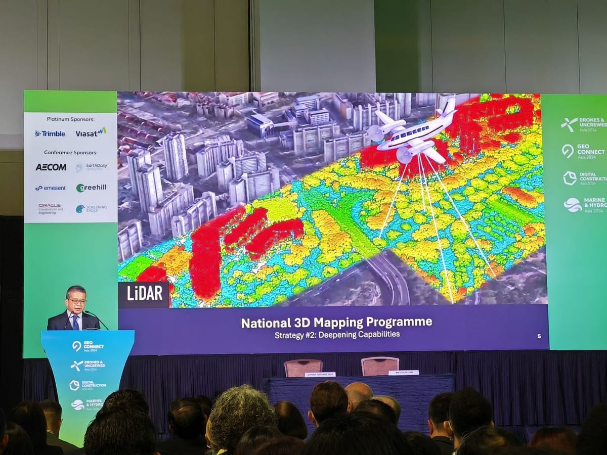
In his address, Minister Edwin Tong announced the refreshed Singapore Geospatial Master Plan. Unlike the previous master plan of 2018, this new plan will chart Singapore's vision over 10 years, from 2024 to 2033.
"[𝘐𝘵 𝘪𝘴] 𝘢 𝘭𝘪𝘷𝘪𝘯𝘨 𝘥𝘰𝘤𝘶𝘮𝘦𝘯𝘵 𝘵𝘩𝘢𝘵 𝘳𝘦𝘲𝘶𝘪𝘳𝘦𝘴 𝘤𝘰𝘯𝘵𝘪𝘯𝘶𝘰𝘶𝘴 𝘶𝘱𝘥𝘢𝘵𝘪𝘯𝘨, 𝘤𝘰𝘯𝘵𝘪𝘯𝘶𝘰𝘶𝘴 𝘪𝘯𝘯𝘰𝘷𝘢𝘵𝘪𝘰𝘯, 𝘢𝘴 𝘸𝘦𝘭𝘭 𝘢𝘴 𝘤𝘰𝘭𝘭𝘦𝘤𝘵𝘪𝘷𝘦 𝘢𝘤𝘵𝘪𝘰𝘯."
The goal? To position Singapore as a leading global geospatial hub.
📍 Underground, land, sea, and sky
Three strategies will bring about "exponential" growth in geospatial. Rather than going into the details, I think it's easier to highlight the possibilities.
- 𝗖𝗼𝗺𝗽𝗹𝗲𝘁𝗲𝗱: A Routing API for heavy vehicles was successfully completed. This allows safe and efficient route planning using geospatial data on road conditions and restrictions.
- 𝗜𝗻𝗶𝘁𝗶𝗮𝗹 𝗿𝗲𝗹𝗲𝗮𝘀𝗲: Barrier-free navigation feature was launched, offering the ability for wheelchair users to plot point-to-point navigation pathways through SLA's OneMap. Routes currently cover 1,100 km.
- 𝗜𝗻 𝗽𝗿𝗼𝗴𝗿𝗲𝘀𝘀: A MOU was also signed with SingHealth to co-develop OneMap to support "social prescribing". This is a healthcare paradigm that leverages community resources to support holistic health. E.g. Record community events such as Tai Chi and Zumba, typically communicated by word-of-mouth on OneMap.
- 𝗠𝗼𝗼𝘁𝗲𝗱: The potential use of drones to deliver urgent, high-value items like medicine and spare parts to the 1,000 ships docked at any one time at the Port of Singapore.
🔆 Geospatial, here we come
These are but a handful of possibilities around geospatial - I never did realise it could be quite so interesting!
What are your thoughts about the possibilities? How else could geospatial benefit us socially and economically? Would love to hear your thoughts.
By the way, there were lots of drones of all shapes and sizes at the conference!
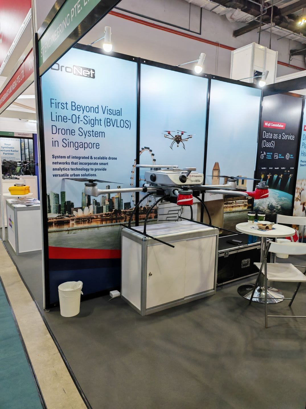
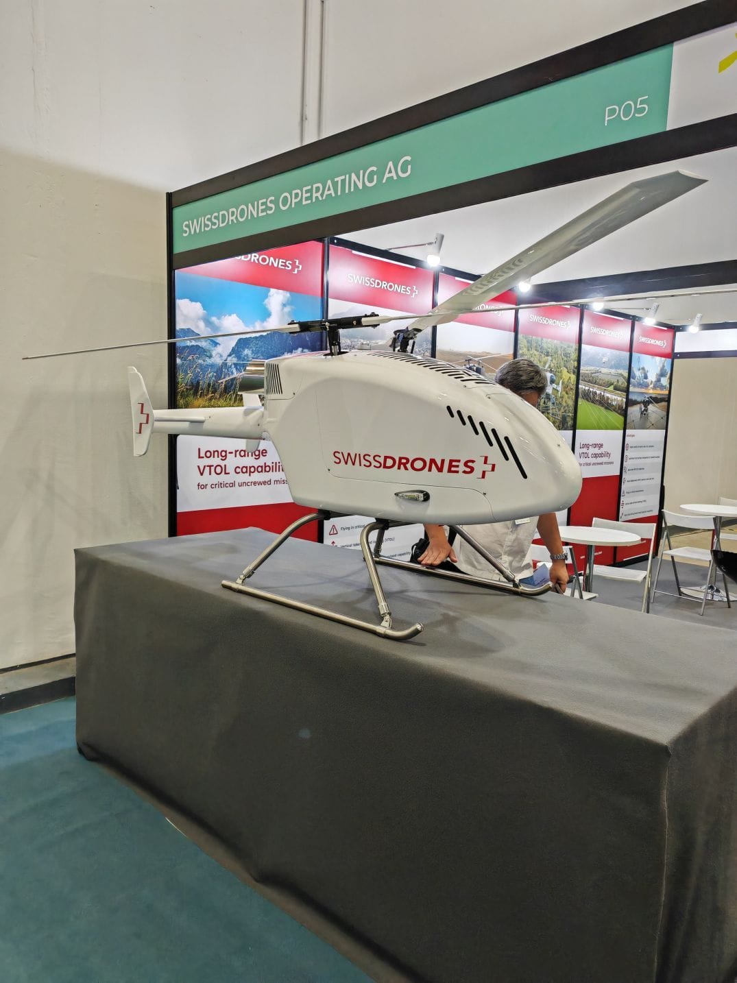
Drones and more drones.